Section 10: Chipude – Igualero – Impada – Barranco de Guirimiar – Alajeró
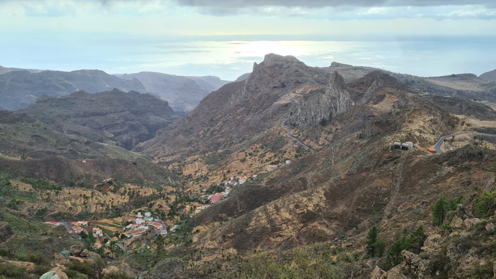
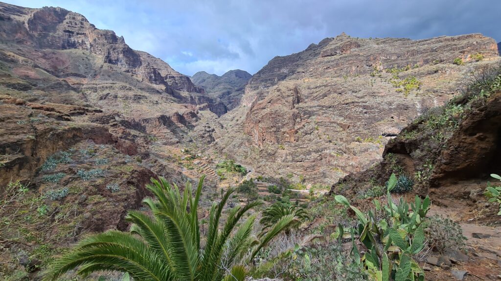
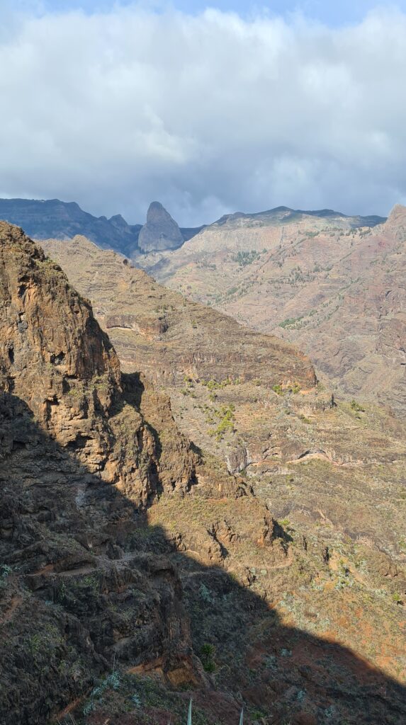
Overall, this was probably the best leg of our trip. A great mixture of challenging trails (especially the final climb up to Alajeró), fantastic landscapes and views (especially Barranco de Guirimiar), a wonderful cottage to stay at in Alajeró, and a bit of adventure.
So, to get one thing out of the way first: If you are using any kind of nav tools that are based on OpenStreetMaps (OSM) data, then it will refuse to “follow” or plan this track unless you allow “off-grid” trails … . Which is total bullshit. For some reason, the trail down from Igualero to Impada “ends” shortly before the reservoir on OSM, hence the software will not “allow” you to take this trail and send you on a much more convoluted route instead. Total bullshit. The trail exists, it is officially marked, even signposted! So don’t worry, just follow our route and you will be fine. 🙂
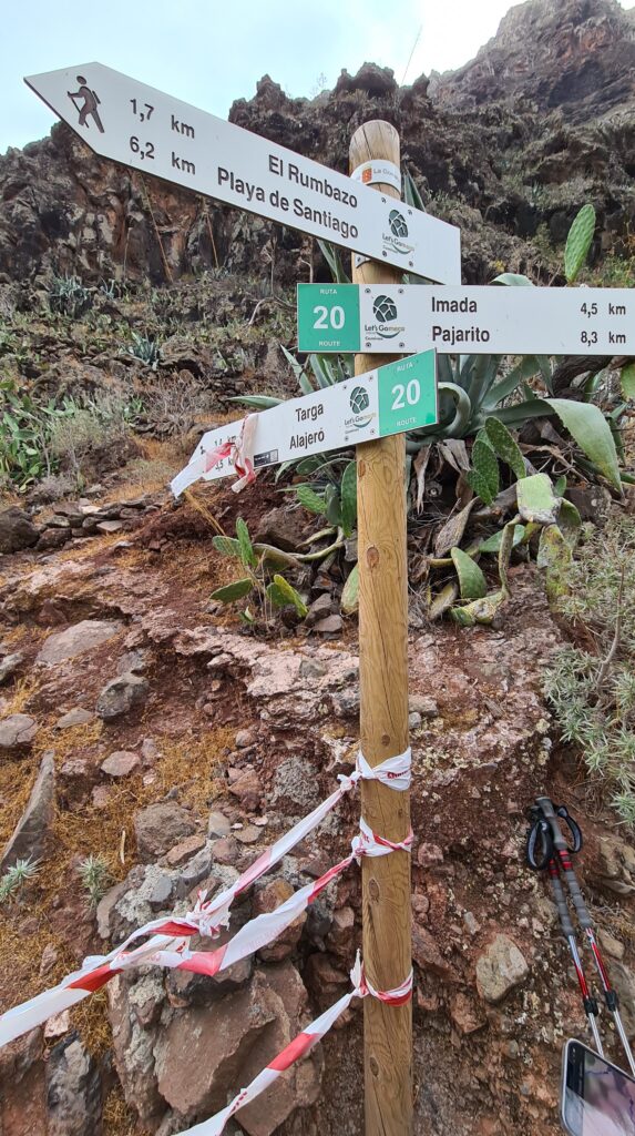
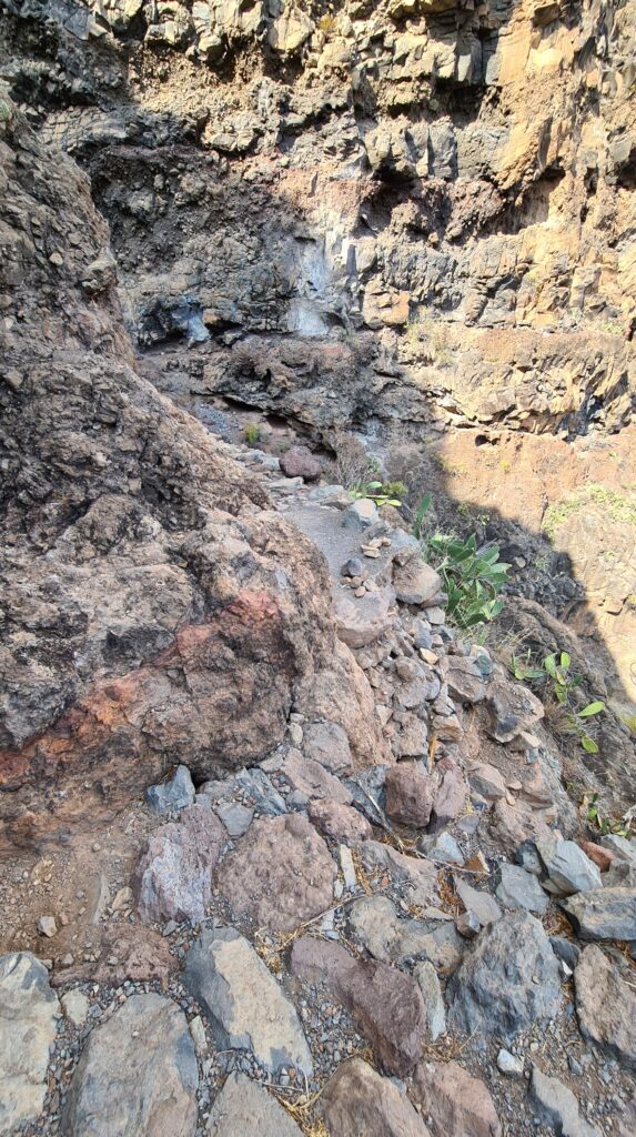
Also, down the Barranco de Guirimiar, the turn-off uphill to Alajeró was “blocked” by red-white tape. No reason was given. Could not find anything on the Internet either. So we simply hiked up there and it’s perfectly fine. There is one section close to the top where the path has eroded a bit, but it’s literally just 1,5 steps, you can straddle the boulder next to it to cross on your arse if you want to. So perfectly fine as well, I’ve seen a lot of “open” trails that are much more exposed and dangerous … .
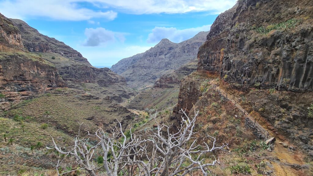
Barranco de Guirimiar is a wonderful place, majestic cliffs to both sides, fantastic rock formations, very peaceful and impressive. We even got to see a little rainbow spanning the barranco on our way up.

