Multi-day hiking on La Gomera
It’s probably no surprise when I tell you that La Gomera is perfect for hiking. Btw, there’s not much else you can do there and that’s part of the appeal, because it means less people. 🙂 The island itself is very small, so you can’t really get lost and it’s relatively easy to plan a long-distance hike. There are two “buts” here, though: a) There is no water to be found, it’s extremely dry (might be different in Spring). b) You cannot rely on public transport. Yes, there are shiny new buses. But the timetable is more theoretical … and if they are full, then you’re out of luck. So don’t make any plans that rely on you being able to catch a bus. Assume that there is no bus and use a taxi or walk, consider the bus a bonus. Or be prepared to wait for a couple of hours.
Circling back to (a) – the scarcity of water supplies means that camping is going to be difficult. It is also illegal. And it’s illegal for a reason, so as a guest, be a good visitor and respect the rules. If you don’t, be prepared to carry shitload of water. 😀 Anyway, there’s always villages around, so it’s really easy to plan and sleep at a casa rural, hotel, finca, whatever every night. No need to carry a tent, sleeping bag etc., more time to enjoy the scenery. You can always do a bodyweight workout in the morning or evening if you don’t feel challenged enough. Or wear a weight vest. Fuck you.
Speaking of challenges. The island might be small, but it also consists of thousands of barrancos. Which means lots, and I mean lots, of up-and-downs. So even on a relatively short leg you will easily rack up decent elevantion gain, don’t underestimate that. Bring poles, because the lenghty and sometimes steep downhill passages will take a toll on your joints, especially if you are carrying a heavy pack.
So, to sum up, perfect destination for me. I can hike for hours without meeting anyone, you get very diverse landscapes sometimes within 30 minutes or so, and you can have a shower and a warm meal at the end of the day. 🙂
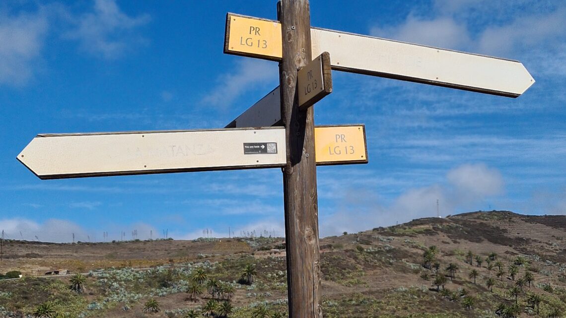
So, why didn’t we just walk the “official” GR-132? Well, the answer is two-fold. First, I like to plan and optimize and plan and optimize and plan and optimize and … … ad infinitum. 😀 Second, the official track is not that great. There are some sections, that are – at least in November – really boring and repetitive, because a superdry barranco is a superdry barranco. Also, the leg from Playa de Santiago to VGR will take you through La Dama. And there is no short term accommodation in La Dama, it’s minimum 5 or 7 nights. Plus, this whole area is not the most exciting, landscape wise. I also wanted to avoid having to use transportation to get to the start or end of tracks. Last but not least, the GR-132 does not really touch the interior, the rainforest. And it would be a shame to miss that. Hence a little optimization, I created a hybrid of GR-131 and GR-132, plus added some side trips where convenient to get us the best of both worlds. The proof is always in the pudding of course, so once I had assembled the route(s) I was looking forward to actually hiking it. And I must say, I did a great job – the result can be seen in this earlier post. The Reisebegleitung agreed, because I had paid for the hotel. Some things you can only know once you’ve seen them. So what I would change next time:
- Segment 05: Hike from Vallehermoso via Epina to Alojera, stay in Alojera. (We cut this short, heading straight to Arure from Epina because the Reisebegleitung was not feeling well that day.)
- Next day, hike from Alojera to Las Hayas and do the forest loop we did as segment 06. Stay in Las Hayas.
- Next day, hike from Las Hayas via Arure down to VGR, our segment 07.
- Essentially, don’t stay in Arure. There’s nothing there, not worth it. I ended up forfeiting two nights I had paid for and booked a room in VGR instead. Arure was really the low point of the whole trip, sorry to say that.
- Las Hayas on the other hand offers a very nice restaurant in Casa Efigenia! 🙂
- If you can’t find accommodation in Las Hayas, walk down to Arure, take taxi/bus to VGR, stay in VGR, next day, take taxi/bus to Arure and hike down to VGR. Easy as fuck.
- You might notice that we did not walk the last segment from Playa de Santiago to San Sebastian. It’s not worth it, at least not in November. This might look different in spring, but in autumn this is simply repeating superdry rocky scenery you’ve already seen plenty of the two weeks before. So I’d rather have ice cream in San Sebastian and call it a day.
Two more things to notice:
- When you look at the section 10, from Chipude to Alajeró, the trail will not “connect” at Presa di Acanabre (between Igualero and Imada) on OpenStreetMap. Thus, if you use the auto-planning in apps that are based on OSM (i.e. nearly all), it will create a different route, which sucks, or constantly warn you about “off-grid”,w which also sucks and is not true. OSM is not up to date here, there is a trail, it is marked, sign-posted, perfectly fine to walk, not off-grid! Trust me, I’m a doctor. I’ve even uploaded some pictures to prove it in komoot.
- On the same segment, the trail leading up to Alajeró from the Barranco de Guirimiar was cordoned off with red tape. There is no need for that. There is a small section, close to the top of the ascent, where the track has eroded, but it’s just one step. So no need to worry, just hold on to the rock on your right and take a long step or scramble across that rock. Again, super easy, not dangerous.
In general, when planning, keep in mind that you are carrying all of your luggage on your back (unless you have a sherpa). So you won’t be as fast and can’t go as long as you would on your weekend dog walk. Plus the elevation gain. And the fact that you really need to carry plenty of water!
The highlights of the trip were – for me – the rainforest loop (06), the ascent from Agulo (03), and the super diverse segment from Chipude to Alajeró, especially Barranco de Guirimiar.