Eye of the Beholder
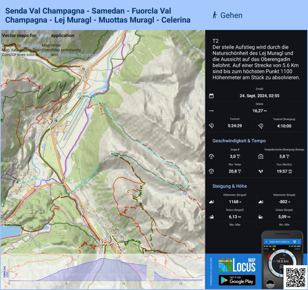
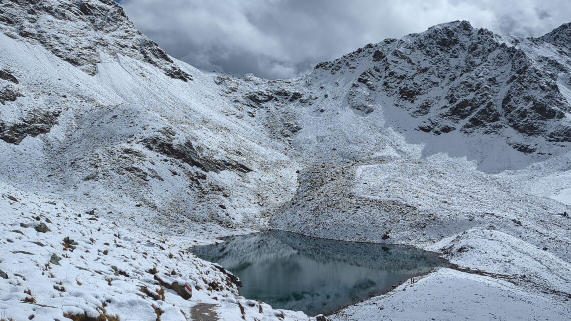
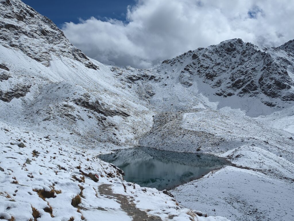
This was likely the best dayhike I’ve ever done! No kidding. Also serves as a perfect example how conditions can modify difficulty ratings. This route is classified as T2 (Swiss / SAC Classification). So relatively easy-peasy. (Note that this refers to technical difficulty, not to endurance or other factors. A T2 route can be extremely taxing from an endurance/strength perspective, but still technically easy/safe to walk … .) But! There was snow cover from 2500m upwards, no markers to be seen 2600m+. That raises the bar, even though navigation was still relatively easy given the landscape. There still was one spot where I had to backtrack five times until I finally found the right route – just when I was ready to give up and turn back. Also, progress is much slower as you have to test the ground with your pole and be mindful of slippery underground … . Fortunately, the weather was brilliant. If it had been foggy or raining/snowing heavily, I would have turned back for sure.
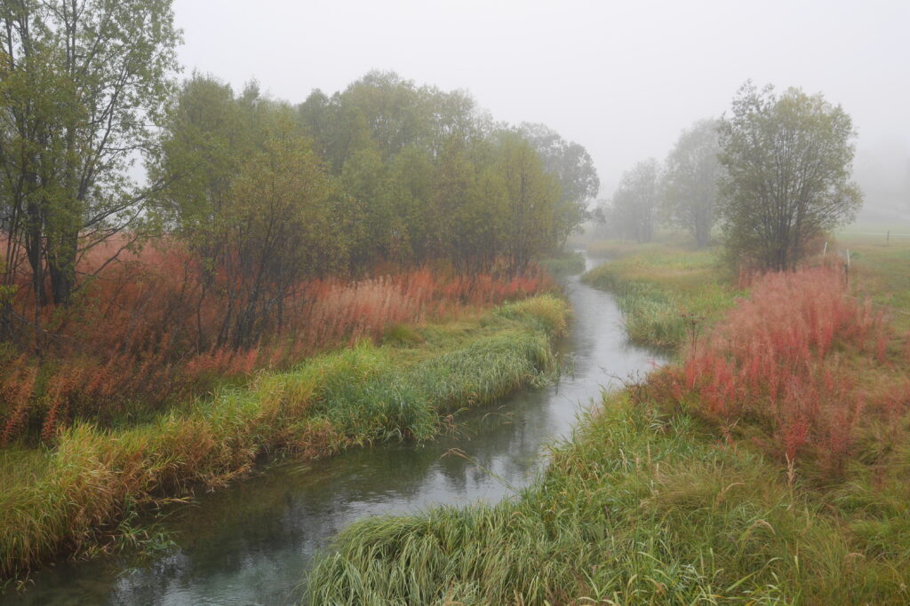
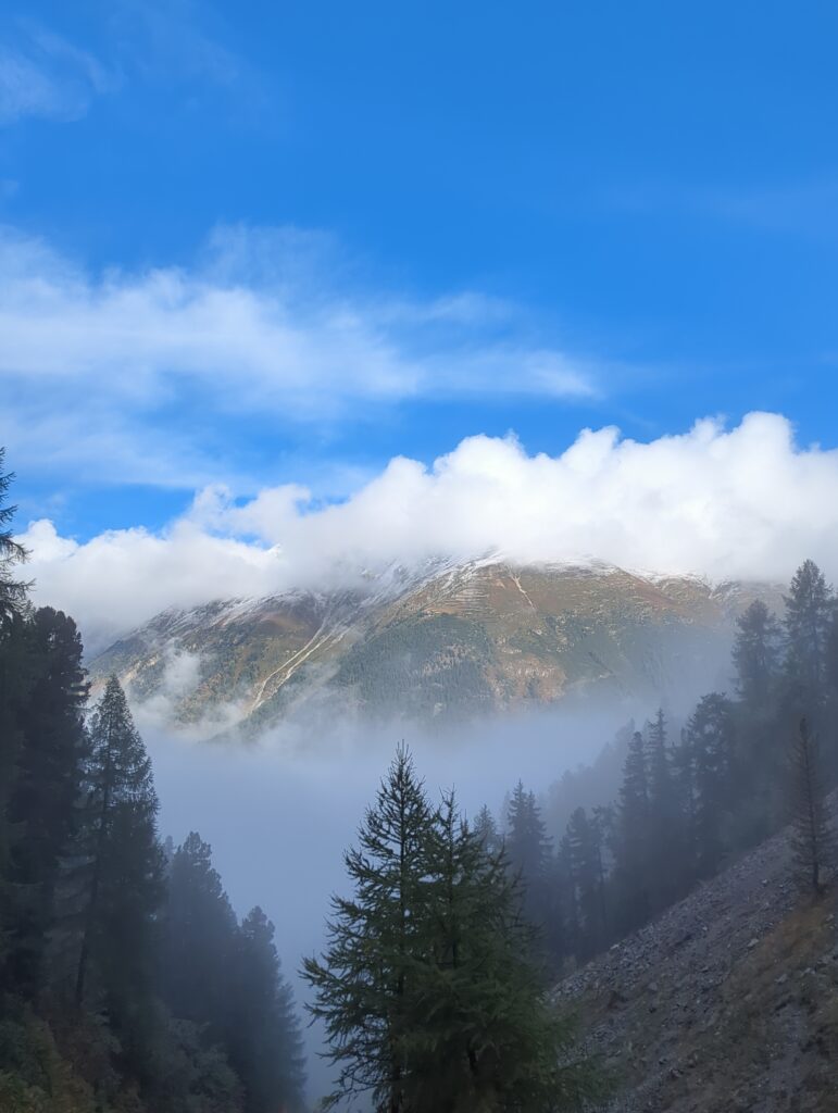
But I didn’t and what a shame that would have been. The actual track starts at the Samedan campground, but I started at the Samedan train station, walked along the Inn river to the campsite to warm up. It was a chilly, extremely foggy morning, as you can see in the pictures – no visibility:
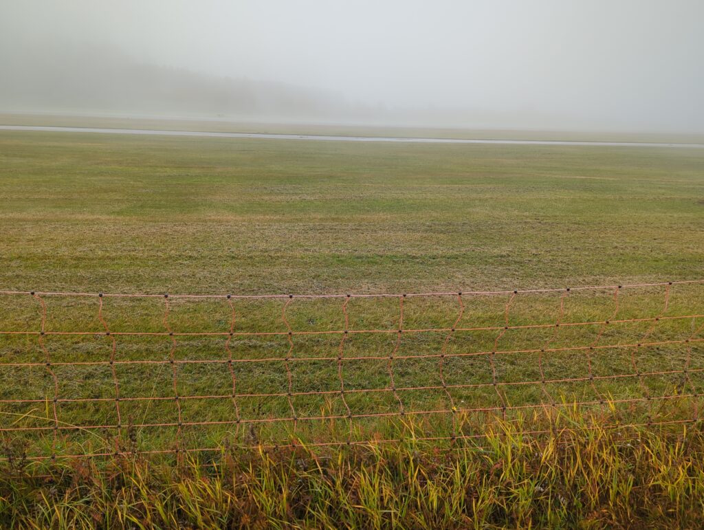
Plus great views of Samedan “airport” with its high security fence 😀 :
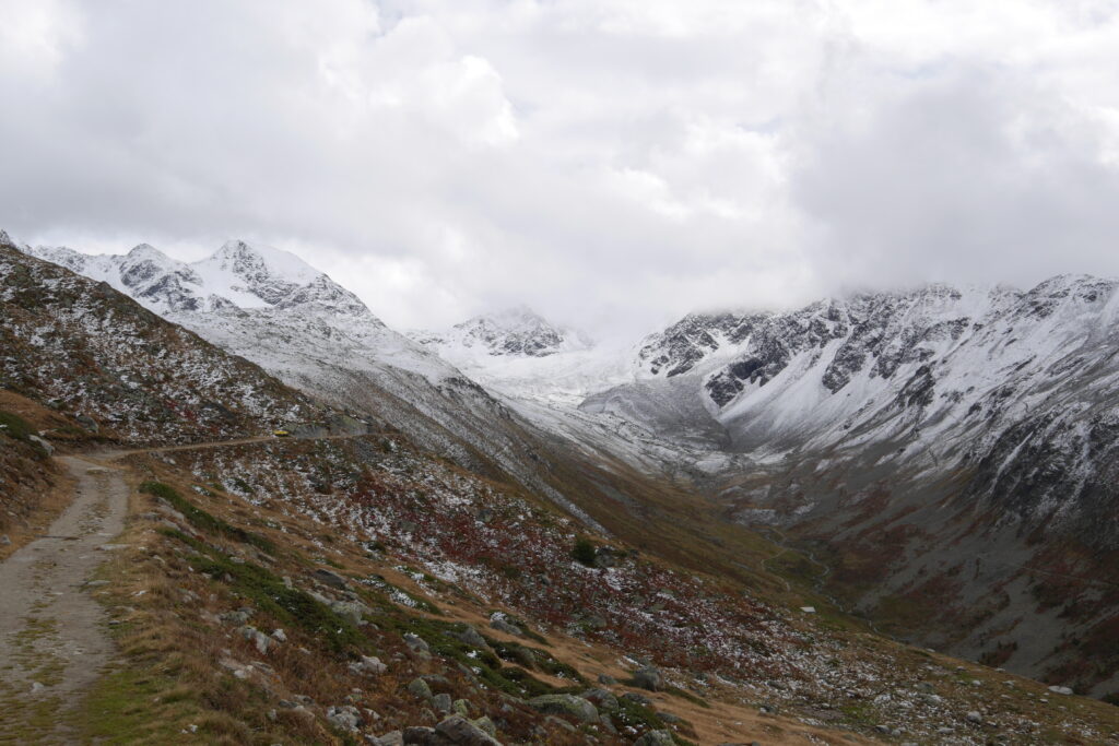
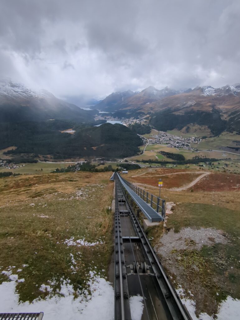
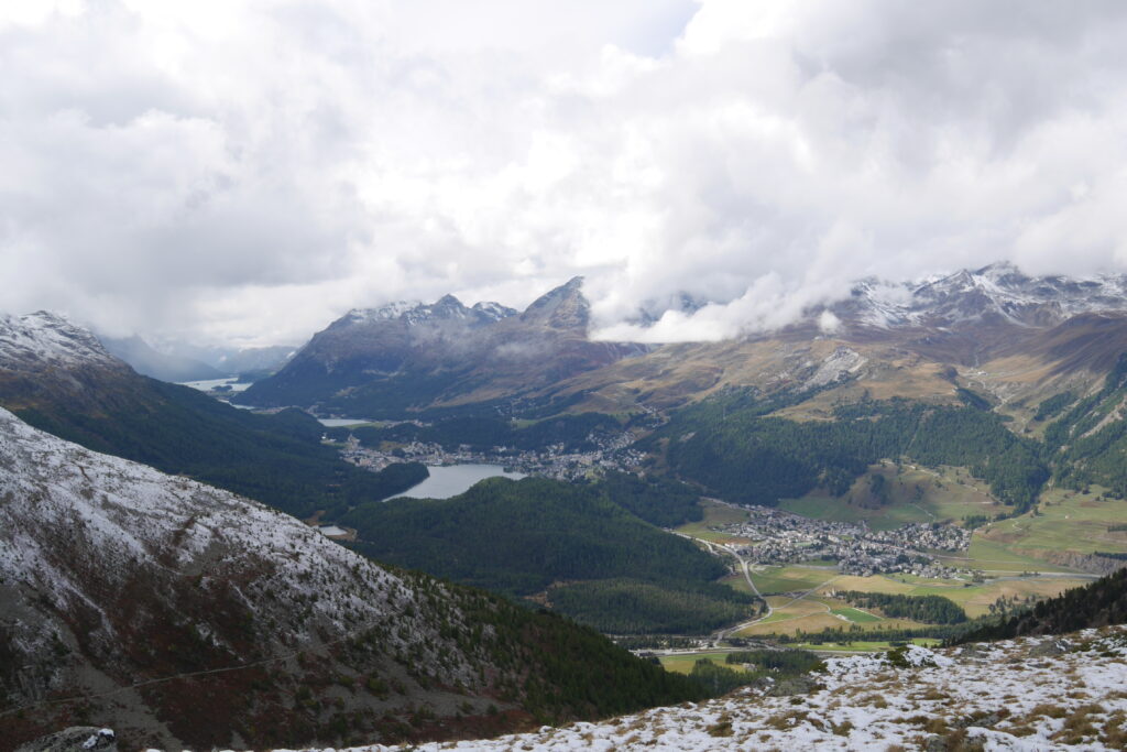
So I was a little worried that there would be no sights or that I would have to turn back. The track ascends steeply right from the campground, a more or less relentless climb to the pass. After ascending for 10-15mins, I emerged from the clouds to a blue, sunny sky, wonderful views and colors. 2mins later, I turned a corner and saw the mountain range I was headed for, all covered in snow, glittering in the sunlight. Fucking Fantastic! Almost overwhelmingly beautiful, walking toward this wonderful panorama for the rest of the climb! Holy shit! Running out of adjectives here, but believe me, it was breathtaking, in both meanings of the word. 😀
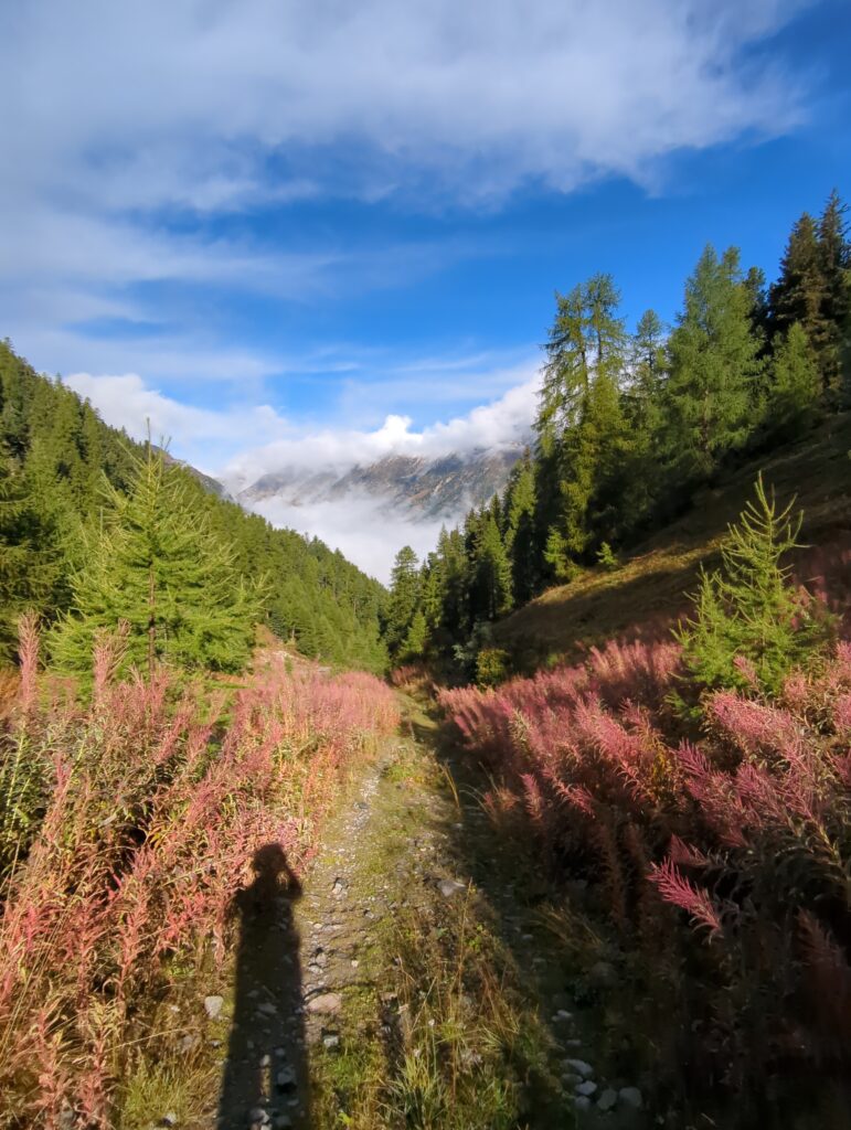
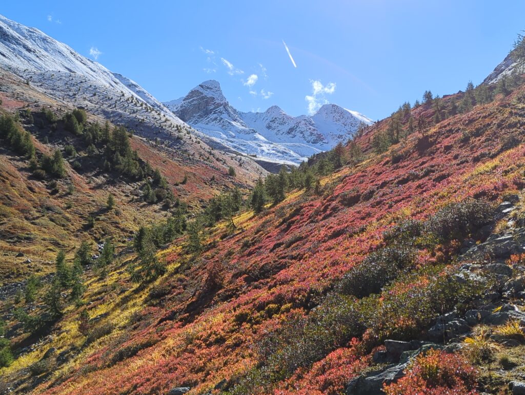
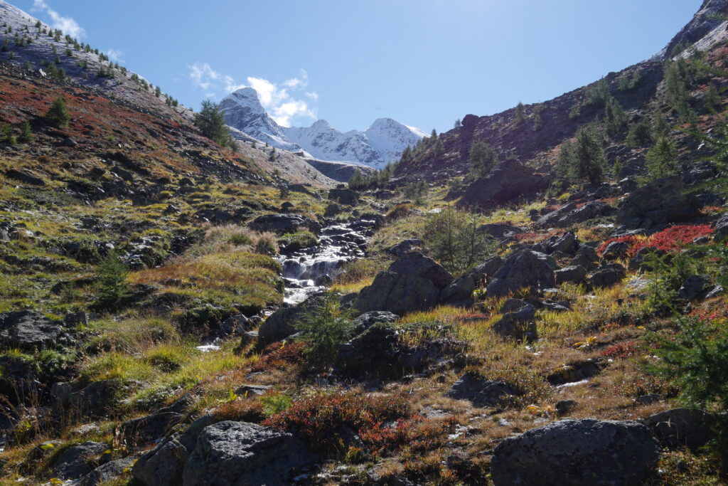
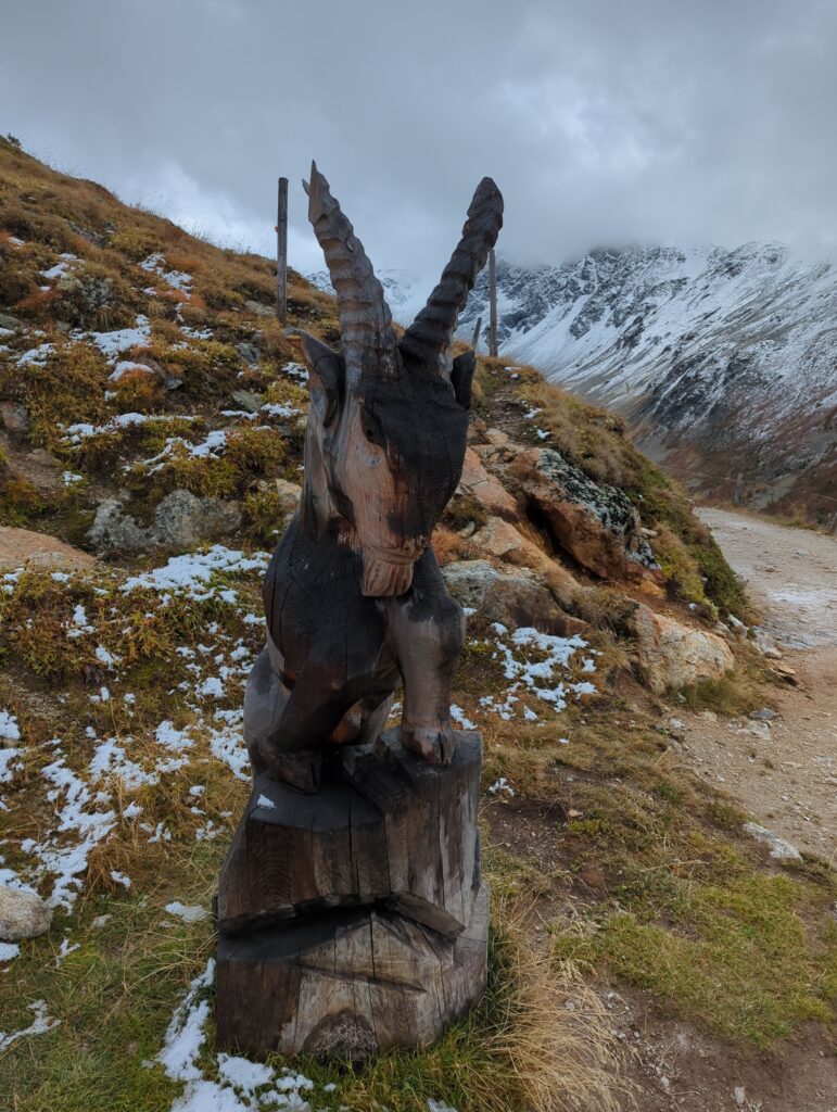
After a while, at ca 1500m, there was little bits of snow, a little further a bit more, and soon everything was white. Superfantasticbeautiful! But also challenging, because no markers and you don’t know what’s underneath. I made relatively slow progress on the last 200m of elevation or so, constantly checking against my map and testing the ground ahead of me with my pole. (I had checked before I set out in the morning and the info was that the snowline was at 3000m – apparently that was wrong, snow hadn’t got the memo.) Despite all that, the snow cover adds another layer of atmosphere to the whole thing. Complete silence except for your breath, the crunch of your boots, the whistling of marmots. Didn’t meet one person all morning. 🙂 There was one Gams skipping merrily ahead of me and – I’m convinced – making fun of my slow and clumsy progress.
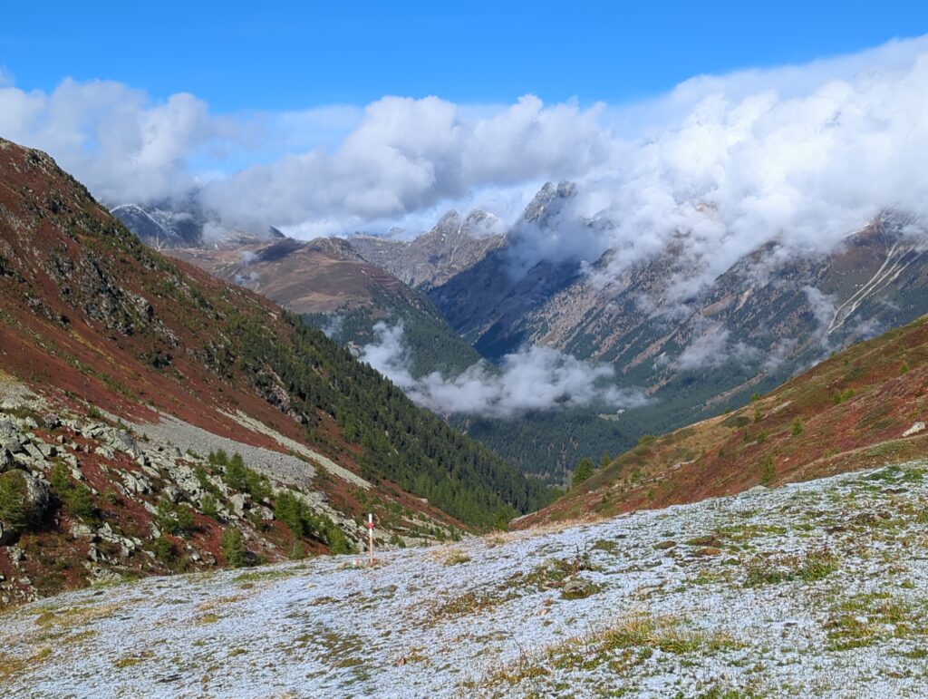
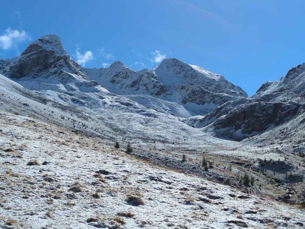
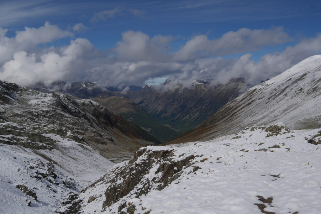
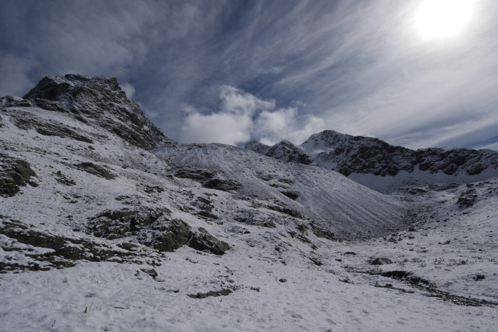
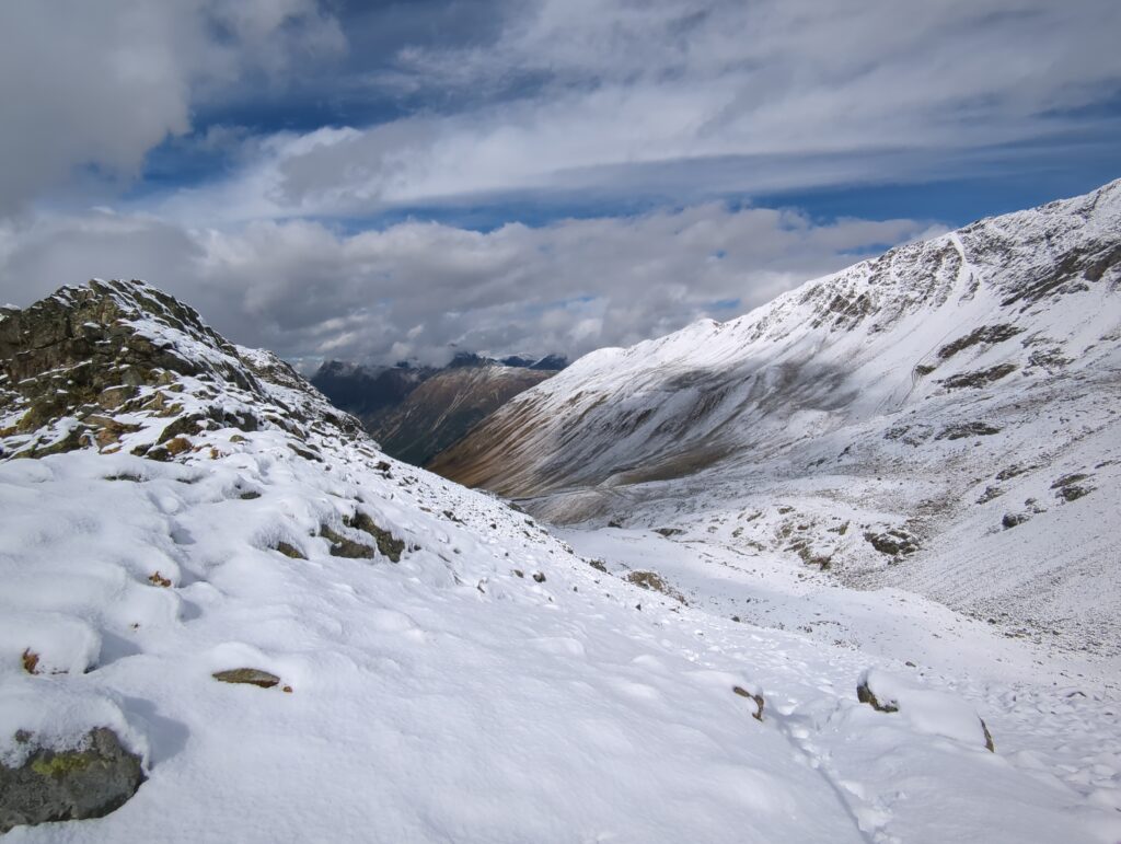
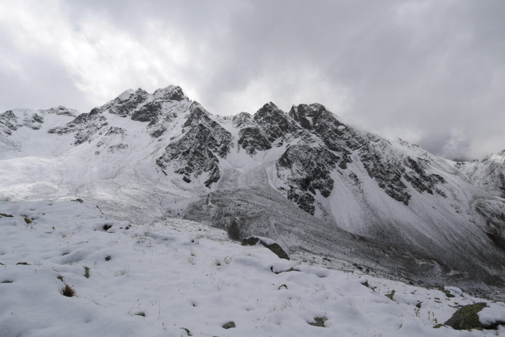
Fortunately the weather held and I finally reached the pass. Short breather, admire the scenery, move on. The trickiest bit came right after the pass, couldn’t find the path forward and had to retrace and reset five times. I was ready to give up and turn back when I finally spotted one landmark that seemed to make sense – and luckily it was the right one. After that, a bit of a tricky descent to the mountain lake. But fortunately this side of the range had been in the sun for a while which made the terrain more muddy than icy, very welcome because otherwise it wouldn’t have been much fun. By that point, I was physically and mentally well challenged and quite happy that the descent was relatively easy and straightforward.
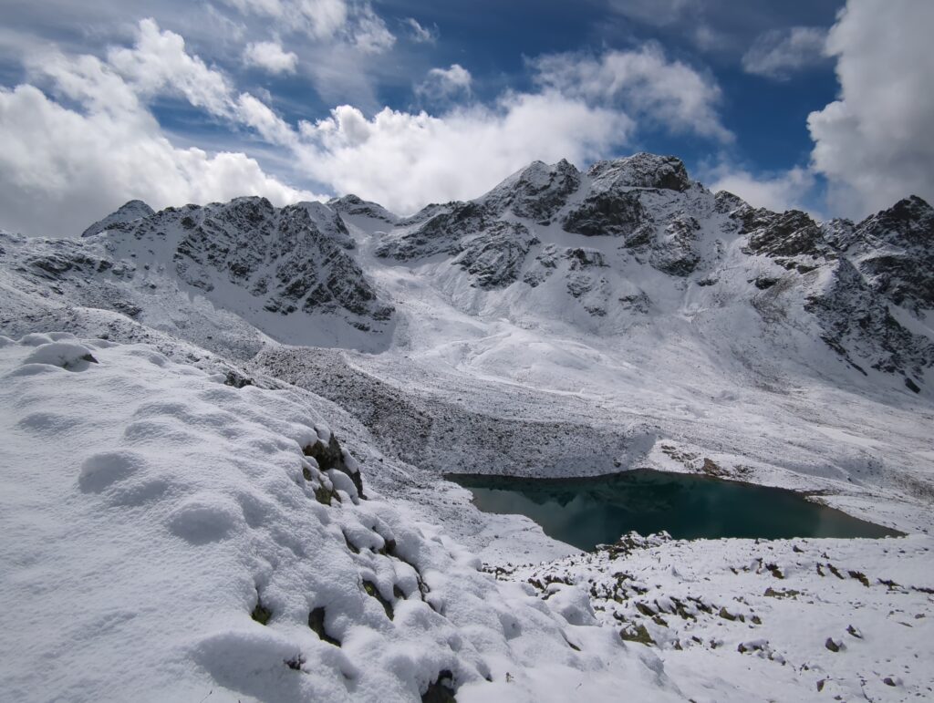
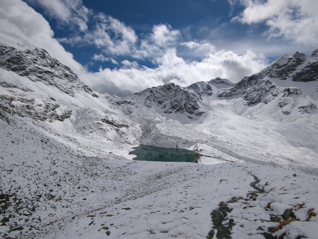
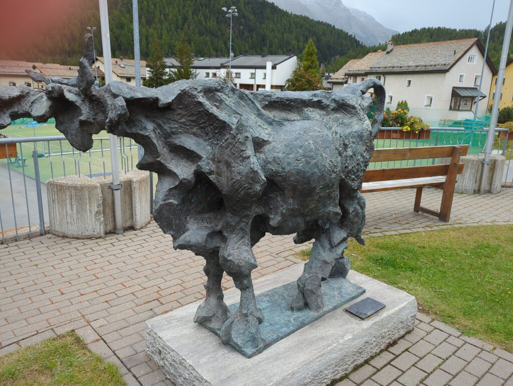
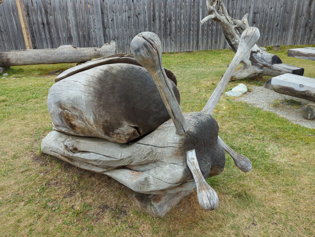
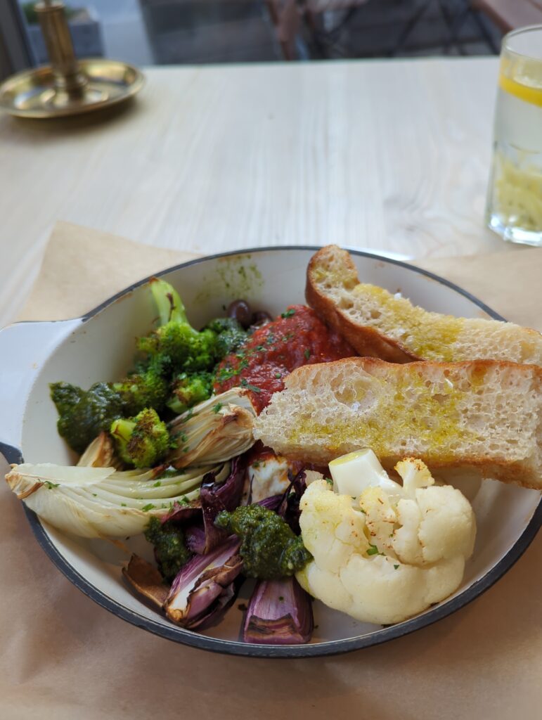
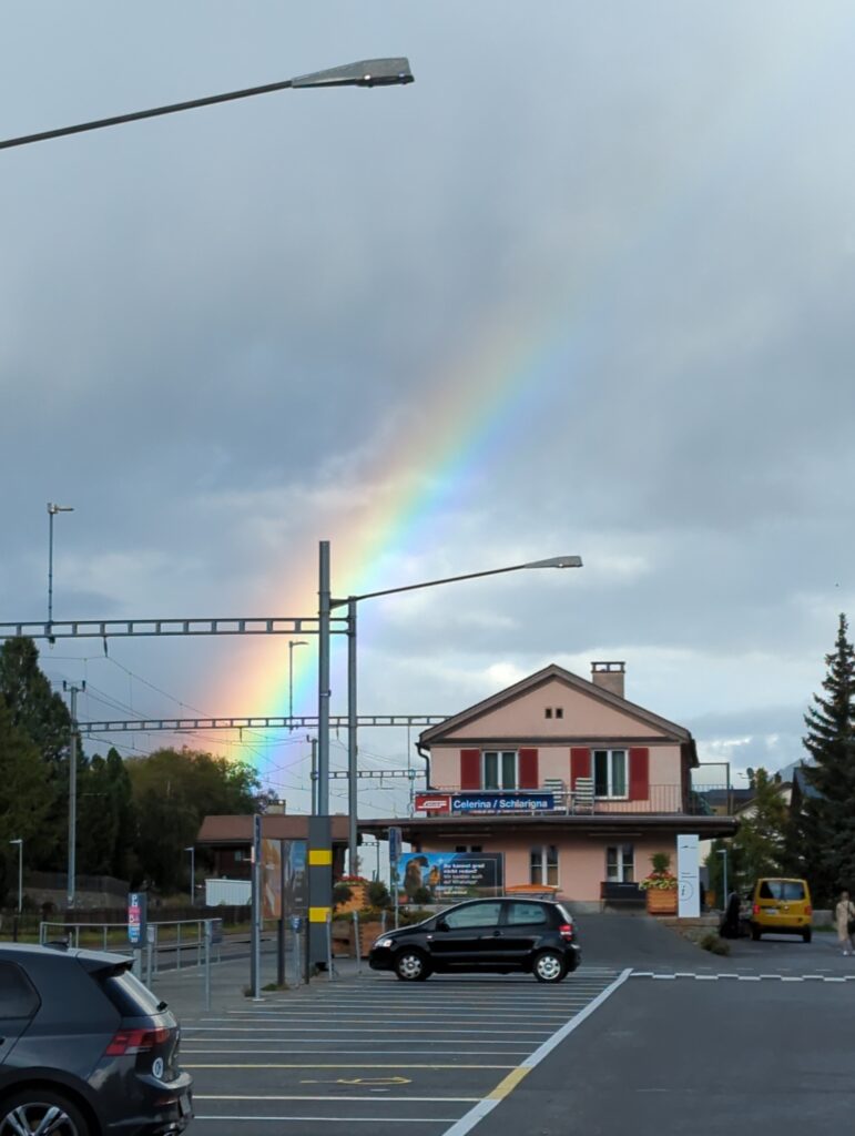
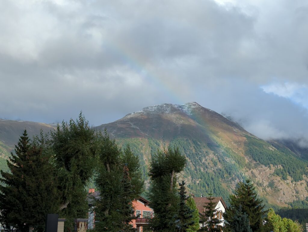
From the mountain lake it’s an easy walk to the gondola station – here I met a bunch of people who used to gondola to come up and stroll around a bit. I also had to discourage one family with two smaller children from attempting to walk my route in reverse. They were wearing sneakers and were generally ill-equipped, I think I managed to sell them on not pushing beyond the mountain lake and return through the same valley instead. At least I didn’t read about any deaths on the mountain in the papers the next day … . From the valley station it’s a nice relaxing walk back to Celerina passing some strange creatures. 😉 Stretch! Hot Shower! Dinner! And a rainbow to round-off a truly perfect day! 🙂
GPX file and track details: https://link.locusmap.app/t/qarhpz – Don’t attempt this in bad weather/visibility unless you know what you’re doing … .
